Since 1998 we have developed mapping and software solutions for the Channel Islands and beyond.We pride ourselves on building strong, personable and trusted long term relationships.
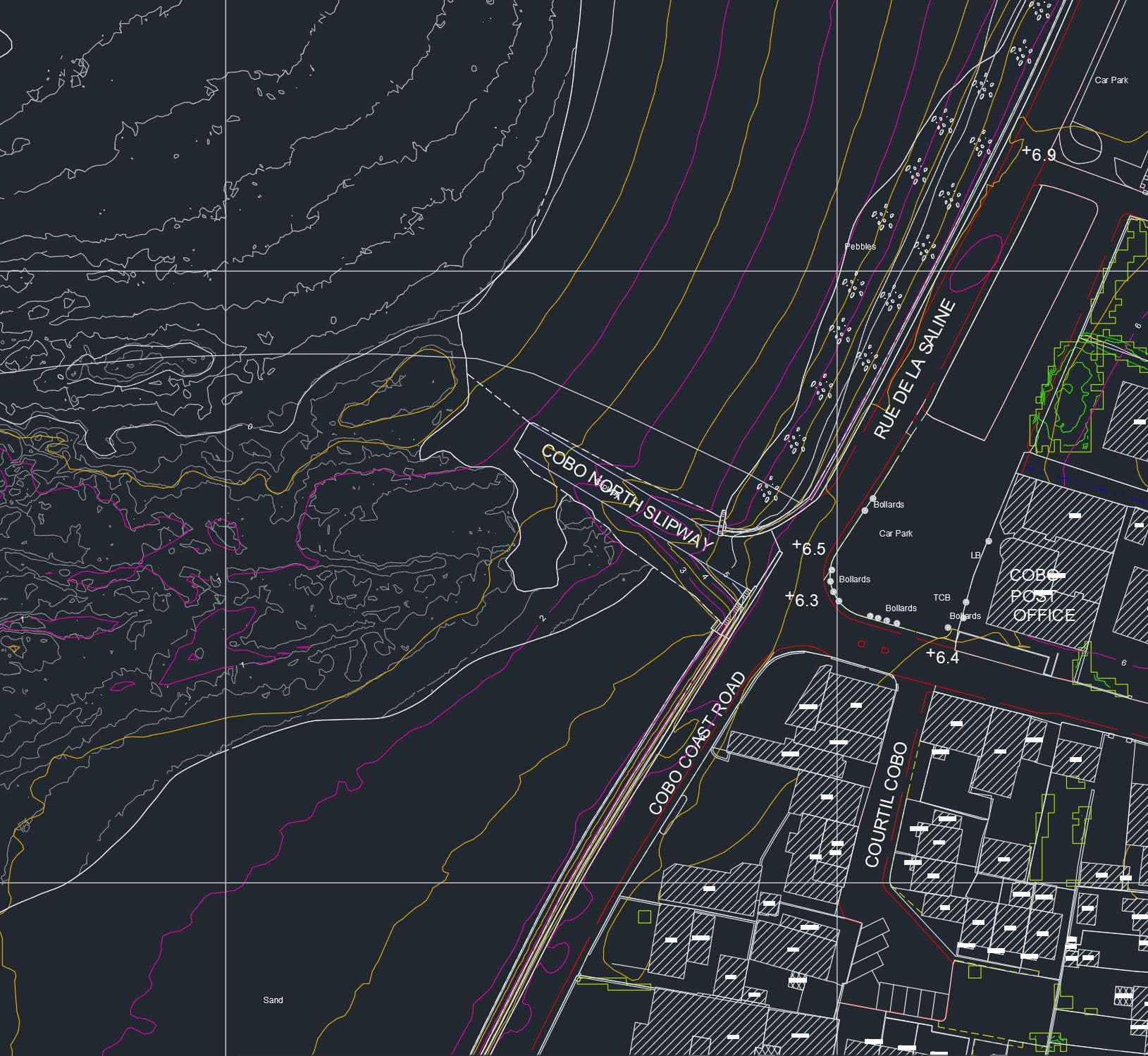
Mapping & GIS
From simple map prints to GIS solutions for national infrastructure.
Software Solutions
Bespoke software to fulfil complex tasks in goverment and industry.
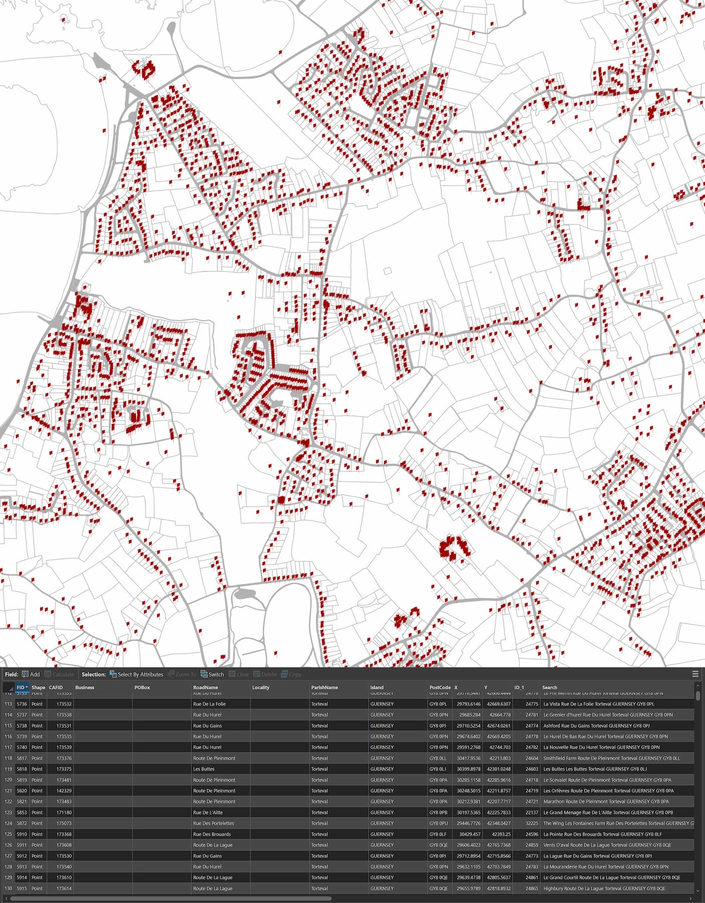
Data Supply
Specialist datasets distributed through online products, API integration and bespoke software.
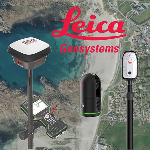
Data Capture
Sales, hire, support and Channel Island agency for Leica Geosystems instruments.
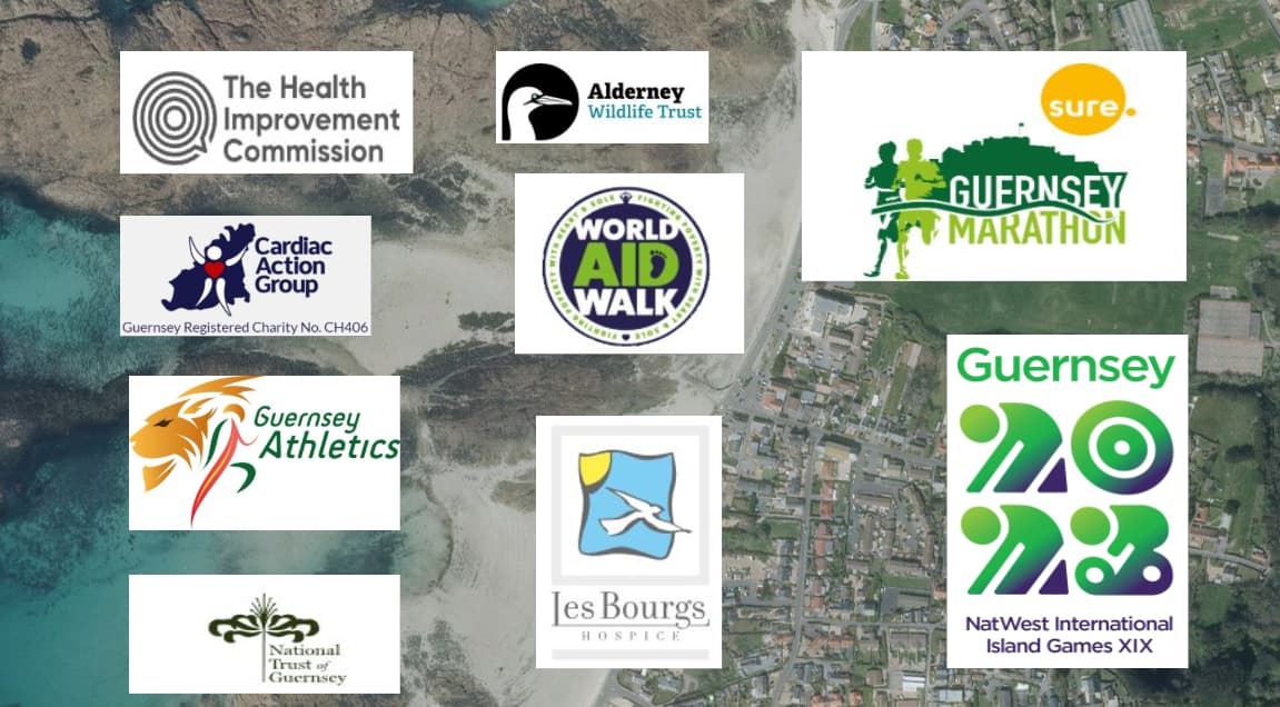
Third Sector
We provide training, consultancy and solutions to charities.
With a world class development team and expert project support, we deliver bespoke, complex software and mapping solutions to improve government and business processes.
Our partnerships